
Besbes topographic map
Interactive map
Click on the map to display elevation.
About this map
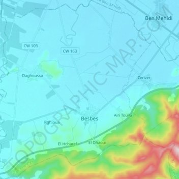
Name: Besbes topographic map, elevation, terrain.
Location: Besbes, Besbes District, El Tarf, Algeria (36.65898 7.75726 36.78282 7.89776)
Average elevation: 69 m
Minimum elevation: 2 m
Maximum elevation: 546 m