
菅野ダム topographic map
Interactive map
Click on the map to display elevation.
About this map
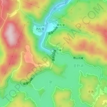
Name: 菅野ダム topographic map, elevation, terrain.
Location: 菅野ダム, 東松室, 周南市, 山口県, 日本 (34.13978 131.90335 34.14209 131.90444)
Average elevation: 325 m
Minimum elevation: 189 m
Maximum elevation: 489 m