
kazaure topographic map
Interactive map
Click on the map to display elevation.
About this map
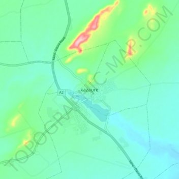
Name: kazaure topographic map, elevation, terrain.
Location: kazaure, Unguwar Arewa, Kazaure, Jigawa, Nigeria (12.61382 8.37481 12.69382 8.45481)
Average elevation: 462 m
Minimum elevation: 424 m
Maximum elevation: 610 m