
Aerdt topographic map
Interactive map
Click on the map to display elevation.
About this map
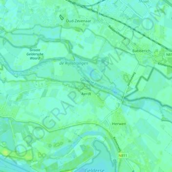
Name: Aerdt topographic map, elevation, terrain.
Location: Aerdt, Zevenaar, Geldern, Niederlande (51.87541 6.02029 51.91659 6.10574)
Average elevation: 12 m
Minimum elevation: 8 m
Maximum elevation: 19 m