
Elst topographic map
Interactive map
Click on the map to display elevation.
About this map
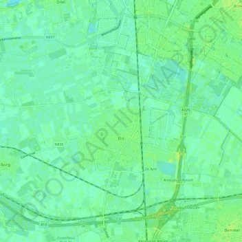
Name: Elst topographic map, elevation, terrain.
Location: Elst, Overbetuwe, Geldern, Niederlande (51.89369 5.78192 51.95397 5.89803)
Average elevation: 10 m
Minimum elevation: 4 m
Maximum elevation: 17 m