
Kais topographic map
Interactive map
Click on the map to display elevation.
About this map
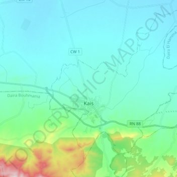
Name: Kais topographic map, elevation, terrain.
Location: Kais, Kaïs District, Khenchela, Algeria (35.44413 6.88998 35.56759 7.01897)
Average elevation: 946 m
Minimum elevation: 857 m
Maximum elevation: 1,417 m