
Les Pauses topographic map
Interactive map
Click on the map to display elevation.
About this map
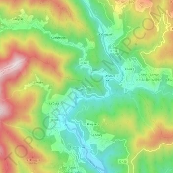
Name: Les Pauses topographic map, elevation, terrain.
Average elevation: 447 m
Minimum elevation: 227 m
Maximum elevation: 755 m
Other topographic maps
Click on a map to view its topography, its elevation and its terrain.
La Blaquière
France > Occitanie > Gard > Saint-André-de-Majencoules > La Blaquière
La Blaquière, Saint-André-de-Majencoules, Le Vigan, Gard, Occitanie, France métropolitaine, 30570, France
Average elevation: 424 m
Valbonne
France > Occitanie > Gard > Saint-André-de-Majencoules
Valbonne, Saint-André-de-Majencoules, Le Vigan, Gard, Occitanie, France métropolitaine, 30570, France
Average elevation: 403 m