
Plaža Makarska topographic map
Interactive map
Click on the map to display elevation.
About this map
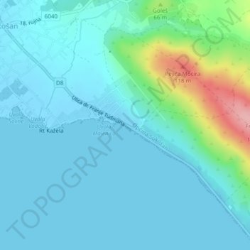
Name: Plaža Makarska topographic map, elevation, terrain.
Location: Plaža Makarska, Općina Sukošan, Zadar County, Croatia (44.03452 15.32915 44.03672 15.33508)
Average elevation: 21 m
Minimum elevation: -5 m
Maximum elevation: 130 m