
Tân Lập topographic map
Interactive map
Click on the map to display elevation.
About this map
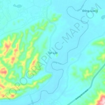
Name: Tân Lập topographic map, elevation, terrain.
Location: Tân Lập, Tân Kỳ District, Nghe An province, Vietnam (19.06153 105.23977 19.14153 105.31977)
Average elevation: 83 m
Minimum elevation: 23 m
Maximum elevation: 453 m