
La Barra topographic map
Interactive map
Click on the map to display elevation.
About this map
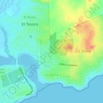
Name: La Barra topographic map, elevation, terrain.
Location: La Barra, Maldonado, 20001, Uruguay (-34.91904 -54.87291 -34.89763 -54.83924)
Average elevation: 15 m
Minimum elevation: -2 m
Maximum elevation: 51 m