
Belses topographic map
Interactive map
Click on the map to display elevation.
About this map
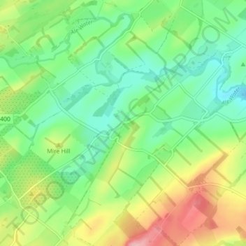
Name: Belses topographic map, elevation, terrain.
Location: Belses, Scottish Borders, Scotland, TD8 6UR, United Kingdom (55.49907 -2.69638 55.53907 -2.65638)
Average elevation: 140 m
Minimum elevation: 91 m
Maximum elevation: 227 m