
Lowry topographic map
Interactive map
Click on the map to display elevation.
About this map
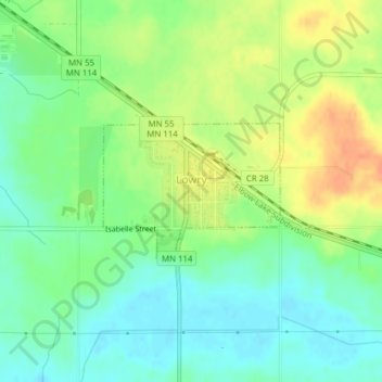
Name: Lowry topographic map, elevation, terrain.
Location: Lowry, Pope County, Minnesota, Estados Unidos da América (45.69930 -95.52803 45.70885 -95.51010)
Average elevation: 409 m
Minimum elevation: 391 m
Maximum elevation: 432 m