
Phú Định topographic map
Interactive map
Click on the map to display elevation.
About this map
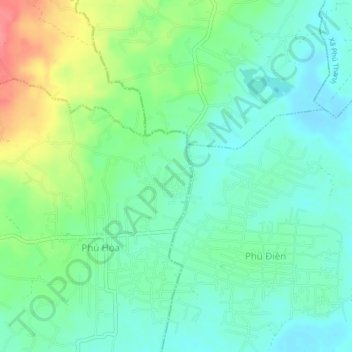
Name: Phú Định topographic map, elevation, terrain.
Location: Phú Định, Định Quán District, Dong Nai province, Vietnam (11.19813 107.41331 11.23813 107.45331)
Average elevation: 120 m
Minimum elevation: 98 m
Maximum elevation: 169 m