
Mont Vernon topographic map
Interactive map
Click on the map to display elevation.
Mont Vernon
There is a gun sporting range in town (the Purgatory Falls Fish & Game Club), and local hunting can be widely found in the fall. There was a ski hill with a rope tow that disbanded in the middle of the 20th century. Mont Vernon is known for views over the Souhegan Valley and has hiking trails, especially in town-owned Lamson Farm and along Purgatory Brook, which forms most of its western border. The Morrissette Trail, opened in May 2012, goes from the lowest to the highest points in Mont Vernon for an elevation gain of 700 feet (210 m) (315 to 1,015 feet (96 to 309 m)). It is sponsored by Summit for a Cure.
About this map
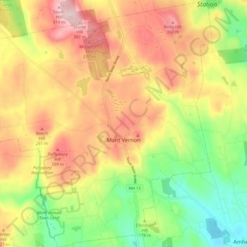
Name: Mont Vernon topographic map, elevation, terrain.
Average elevation: 195 m
Minimum elevation: 69 m
Maximum elevation: 320 m