
Pila topographic map
Interactive map
Click on the map to display elevation.
About this map
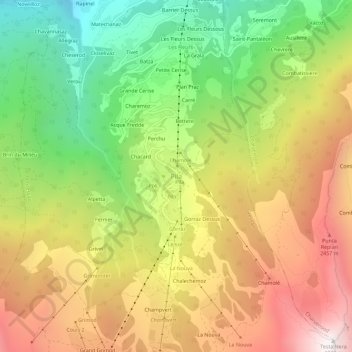
Name: Pila topographic map, elevation, terrain.
Location: Pila, Gressan, Valle d'Aosta, Italia (45.66727 7.29082 45.70727 7.33082)
Average elevation: 1,817 m
Minimum elevation: 892 m
Maximum elevation: 2,812 m