
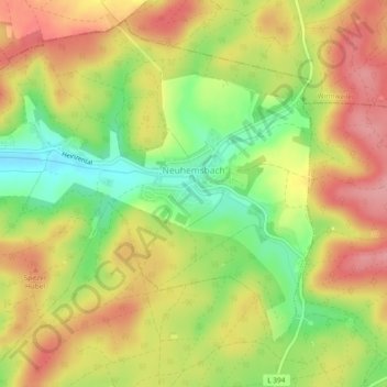
Neuhemsbach topographic map
Interactive map
Click on the map to display elevation.
About this map
Name: Neuhemsbach topographic map, elevation, terrain.
Average elevation: 324 m
Minimum elevation: 260 m
Maximum elevation: 377 m
Aus dem 14. Jahrhundert stammt der auf der Höhe „Spitzer Hübel“ gelegene Rest der Anselburg.