
Blackwell topographic map
Interactive map
Click on the map to display elevation.
About this map
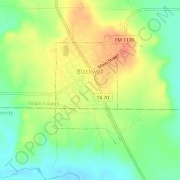
Name: Blackwell topographic map, elevation, terrain.
Location: Blackwell, Nolan County, Texas, United States (32.07598 -100.32512 32.09232 -100.31269)
Average elevation: 637 m
Minimum elevation: 615 m
Maximum elevation: 659 m
Other topographic maps
Click on a map to view its topography, its elevation and its terrain.
Sweetwater
United States > Texas > Nolan County
Sweetwater, Nolan County, Texas, 79556, United States
Average elevation: 658 m