
Dörnitz topographic map
Interactive map
Click on the map to display elevation.
About this map
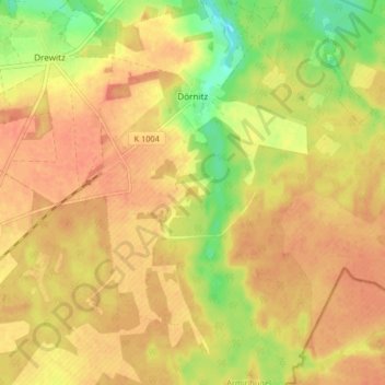
Name: Dörnitz topographic map, elevation, terrain.
Location: Dörnitz, Möckern, Jerichower Land, Saxony-Anhalt, Germany (52.17124 12.17127 52.22094 12.25344)
Average elevation: 91 m
Minimum elevation: 62 m
Maximum elevation: 104 m
Other topographic maps
Click on a map to view its topography, its elevation and its terrain.