
Þórshöfn topographic map
Interactive map
Click on the map to display elevation.
About this map
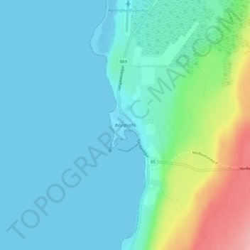
Name: Þórshöfn topographic map, elevation, terrain.
Location: Þórshöfn, Langanesbyggð, Northeastern Region, 680, Iceland (66.17814 -15.35594 66.21814 -15.31594)
Average elevation: 22 m
Minimum elevation: -2 m
Maximum elevation: 117 m