
Teutônia topographic map
Interactive map
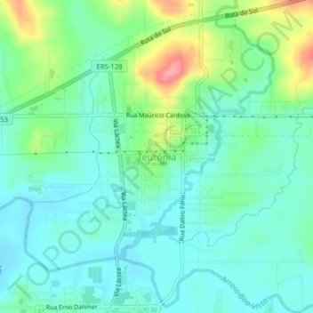
Click on the map to display elevation.
Teutônia
Harmony Lake is an artificial lake located at approximately 500 meters of altitude. One of the largest postcards of the municipality, its construction took place in the 1950s, led by Reinoldo Aschebrock, with the goal of storing water for the generation of electric energy, giving rise to the Cooperativa de Eletrificação Rural Teutônia Ltda (Certel), today the largest and oldest cooperative of its kind in Brazil.
About this map
Name: Teutônia topographic map, elevation, terrain.
Average elevation: 66 m
Minimum elevation: 41 m
Maximum elevation: 134 m