
Walton-le-Dale topographic map
Interactive map
Click on the map to display elevation.
About this map
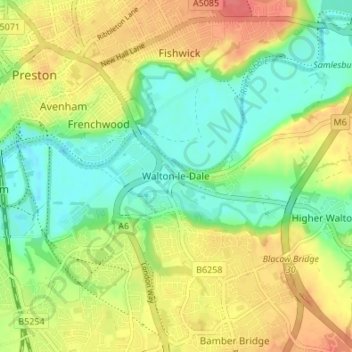
Name: Walton-le-Dale topographic map, elevation, terrain.
Average elevation: 31 m
Minimum elevation: 5 m
Maximum elevation: 61 m
Lancashire trails, hiking, mountain biking, running and outdoor activities
Other topographic maps
Click on a map to view its topography, its elevation and its terrain.