
Lünersee topographic map
Interactive map
Click on the map to display elevation.
About this map
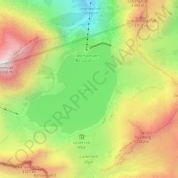
Name: Lünersee topographic map, elevation, terrain.
Location: Lünersee, Vandans, Bezirk Bludenz, Vorarlberg, Austria (47.04679 9.74063 47.06058 9.76115)
Average elevation: 2,106 m
Minimum elevation: 1,568 m
Maximum elevation: 2,682 m