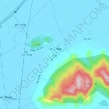
Thị trấn Ba Chúc topographic map
Interactive map
Click on the map to display elevation.
About this map
Name: Thị trấn Ba Chúc topographic map, elevation, terrain.
Average elevation: 69 m
Minimum elevation: -2 m
Maximum elevation: 544 m

Click on the map to display elevation.
Name: Thị trấn Ba Chúc topographic map, elevation, terrain.
Average elevation: 69 m
Minimum elevation: -2 m
Maximum elevation: 544 m