
Orichi topographic map
Interactive map
Click on the map to display elevation.
About this map
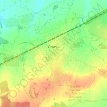
Name: Orichi topographic map, elevation, terrain.
Average elevation: 137 m
Minimum elevation: 116 m
Maximum elevation: 157 m
Other topographic maps
Click on a map to view its topography, its elevation and its terrain.
Суричи
Russia > Kirov Oblast > Orichevsky District > Суричи
Суричи, Истобенское сельское поселение, Orichevsky District, Kirov Oblast, Volga Federal District, Russia
Average elevation: 112 m