
Las Joyas topographic map
Interactive map
Click on the map to display elevation.
About this map
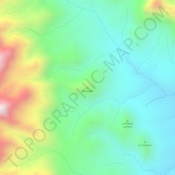
Name: Las Joyas topographic map, elevation, terrain.
Location: Las Joyas, Villa de Reyes, San Luis Potosí, México (21.91205 -100.98915 21.91215 -100.98905)
Average elevation: 2,107 m
Minimum elevation: 1,908 m
Maximum elevation: 2,513 m