
Neubrandenburg topographic map
Interactive map
Click on the map to display elevation.
About this map
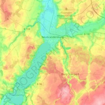
Name: Neubrandenburg topographic map, elevation, terrain.
Average elevation: 58 m
Minimum elevation: 7 m
Maximum elevation: 127 m
Other topographic maps
Click on a map to view its topography, its elevation and its terrain.
Bohnenwerder
Germany > Mecklenburg-Vorpommern > Mecklenburgische Seenplatte > Carwitz
Average elevation: 91 m