
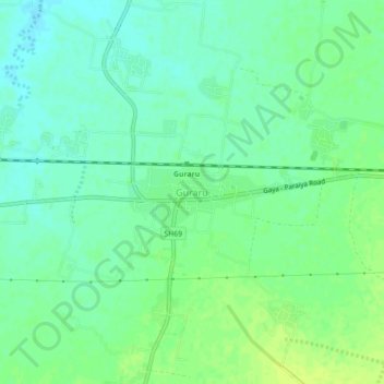
Guraru topographic map
Interactive map
Click on the map to display elevation.
About this map
Name: Guraru topographic map, elevation, terrain.
Location: Guraru, Gaya, Bihar, India (24.78806 84.77212 24.82806 84.81212)
Average elevation: 110 m
Minimum elevation: 103 m
Maximum elevation: 117 m