
Thank you for supporting this site ❤️
Make a donation
Make a donation
Gear up for your next adventure:
As an Amazon Associate, this site earns from qualifying purchases at no extra cost to you.
Hadobhangi topographic map
Click on the map to display elevation.
Thank you for supporting this site ❤️
Make a donation
Make a donation
Gear up for your next adventure:
As an Amazon Associate, this site earns from qualifying purchases at no extra cost to you.
About this map
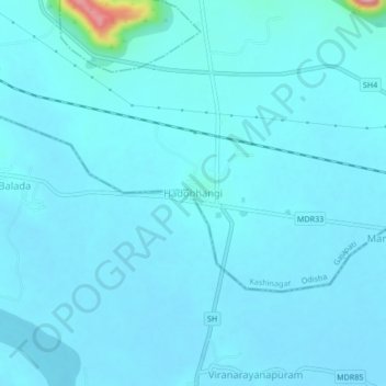
Name: Hadobhangi topographic map, elevation, terrain.
Location: Hadobhangi, Kashinagar, Gajapati, Odisha, 532455, India (18.79537 83.92168 18.83537 83.96168)
Average elevation: 58 m
Minimum elevation: 46 m
Maximum elevation: 216 m
Thank you for supporting this site ❤️
Make a donation
Make a donation
Gear up for your next adventure:
As an Amazon Associate, this site earns from qualifying purchases at no extra cost to you.