
Bunschoten-Spakenburg topographic map
Interactive map
Click on the map to display elevation.
About this map
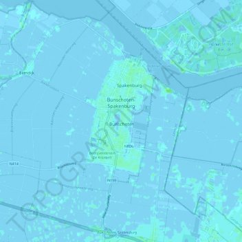
Name: Bunschoten-Spakenburg topographic map, elevation, terrain.
Location: Bunschoten-Spakenburg, Bunschoten, Utrecht, Netherlands (52.20553 5.32193 52.27437 5.40464)
Average elevation: 0 m
Minimum elevation: -5 m
Maximum elevation: 6 m
Other topographic maps
Click on a map to view its topography, its elevation and its terrain.