
Mauk topographic map
Interactive map
Click on the map to display elevation.
About this map
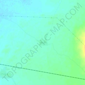
Name: Mauk topographic map, elevation, terrain.
Location: Mauk, Jalor Tehsil, Jalor District, Rajasthan, 343025, Indien (25.19880 72.52060 25.23880 72.56060)
Average elevation: 149 m
Minimum elevation: 143 m
Maximum elevation: 165 m