
Faqi Hasan topographic map
Interactive map
Click on the map to display elevation.
About this map
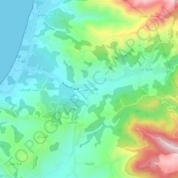
Name: Faqi Hasan topographic map, elevation, terrain.
Average elevation: 146 m
Minimum elevation: 0 m
Maximum elevation: 489 m
Other topographic maps
Click on a map to view its topography, its elevation and its terrain.
Citadel of Salah Ed-Din (Saladin Castle)
Syria > Latakia Governorate > Juwayz
Average elevation: 408 m