
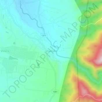
Ban Hua Nam topographic map
Interactive map
Click on the map to display elevation.
About this map
Name: Ban Hua Nam topographic map, elevation, terrain.
Location: Ban Hua Nam, Sila Laeng, Nan Province, 55120, Thailand (19.11969 100.93000 19.15969 100.97000)
Average elevation: 395 m
Minimum elevation: 280 m
Maximum elevation: 747 m