
Deir topographic map
Interactive map
Click on the map to display elevation.
About this map
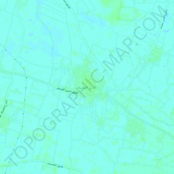
Name: Deir topographic map, elevation, terrain.
Location: Deir, Al Qalyubiya, 13737, Egypt (30.31547 31.25439 30.35547 31.29439)
Average elevation: 14 m
Minimum elevation: 12 m
Maximum elevation: 18 m
Other topographic maps
Click on a map to view its topography, its elevation and its terrain.