
Страшимир topographic map
Interactive map
Click on the map to display elevation.
About this map
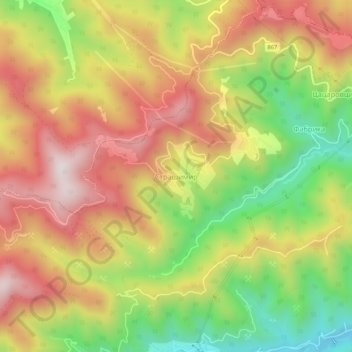
Name: Страшимир topographic map, elevation, terrain.
Location: Страшимир, Златоград, Oblast de Smolyan, Bulgarie (41.41708 24.95383 41.45708 24.99383)
Average elevation: 965 m
Minimum elevation: 594 m
Maximum elevation: 1,295 m