
Lemouafekia topographic map
Interactive map
Click on the map to display elevation.
About this map
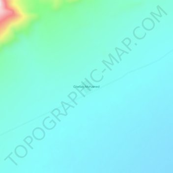
Name: Lemouafekia topographic map, elevation, terrain.
Location: Lemouafekia, Had Sahary, Had Sahary District, Djelfa, Algeria (35.24535 3.42362 35.28535 3.46362)
Average elevation: 837 m
Minimum elevation: 773 m
Maximum elevation: 1,280 m