
Lac Leman topographic map
Interactive map
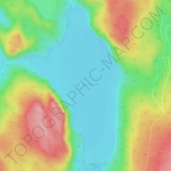
Click on the map to display elevation.
About this map
Name: Lac Leman topographic map, elevation, terrain.
Average elevation: 448 m
Minimum elevation: 391 m
Maximum elevation: 533 m
Other topographic maps
Click on a map to view its topography, its elevation and its terrain.
Lac Leman
Canada > Québec > La Haute-Côte-Nord > Lac-au-Brochet
Lac Leman, Lac-au-Brochet, La Haute-Côte-Nord, Côte-Nord, Québec, Canada
Average elevation: 448 m