
Khanna topographic map
Interactive map
Click on the map to display elevation.
About this map
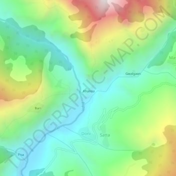
Name: Khanna topographic map, elevation, terrain.
Location: Khanna, Mori, Uttarkashi, Uttarakhand, India (31.14067 78.08031 31.18067 78.12031)
Average elevation: 2,136 m
Minimum elevation: 1,635 m
Maximum elevation: 3,171 m