
Bangla topographic map
Interactive map
Click on the map to display elevation.
About this map
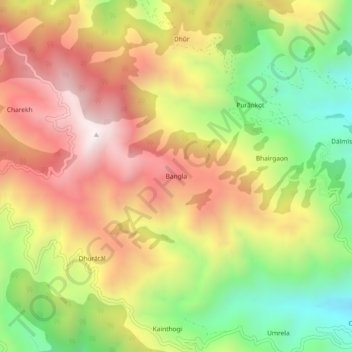
Name: Bangla topographic map, elevation, terrain.
Location: Bangla, Kotdwara, Pauri Garhwal, Uttarakhand, India (29.80665 78.54574 29.84665 78.58574)
Average elevation: 1,292 m
Minimum elevation: 771 m
Maximum elevation: 1,793 m