
Rafael Uribe topographic map
Interactive map
Click on the map to display elevation.
About this map
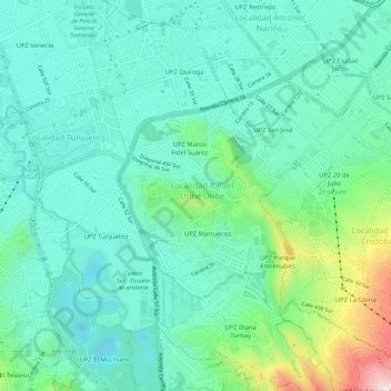
Name: Rafael Uribe topographic map, elevation, terrain.
Location: Rafael Uribe, Bogotá, Colombia (4.53582 -74.13087 4.59272 -74.09458)
Average elevation: 2,608 m
Minimum elevation: 2,510 m
Maximum elevation: 2,942 m