
Emba Soira topographic map
Interactive map
Click on the map to display elevation.
About this map
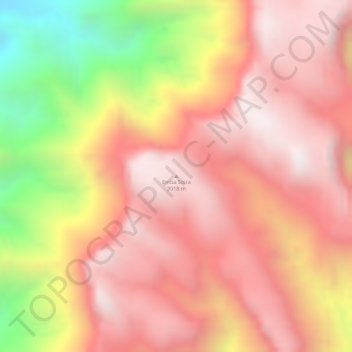
Name: Emba Soira topographic map, elevation, terrain.
Location: Emba Soira, Debub Region, Eritrea (14.75693 39.52335 14.75703 39.52345)
Average elevation: 2,715 m
Minimum elevation: 2,131 m
Maximum elevation: 3,003 m
Other topographic maps
Click on a map to view its topography, its elevation and its terrain.