
Anise topographic map
Interactive map
Click on the map to display elevation.
About this map
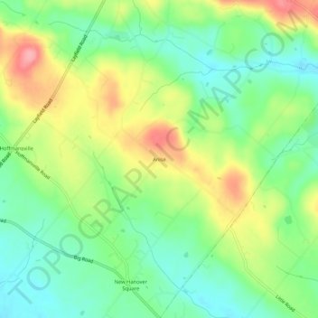
Name: Anise topographic map, elevation, terrain.
Location: Anise, Montgomery County, Pennsylvania, 19472, USA (40.30649 -75.55379 40.34649 -75.51379)
Average elevation: 116 m
Minimum elevation: 74 m
Maximum elevation: 179 m