
Kirchengel topographic map
Interactive map
Click on the map to display elevation.
About this map
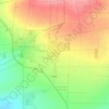
Name: Kirchengel topographic map, elevation, terrain.
Location: Kirchengel, Greußen, Kyffhäuserkreis, Thuringia, Germany (51.28135 10.91019 51.28883 10.91825)
Average elevation: 319 m
Minimum elevation: 257 m
Maximum elevation: 373 m