
Roja topographic map
Interactive map
Click on the map to display elevation.
About this map
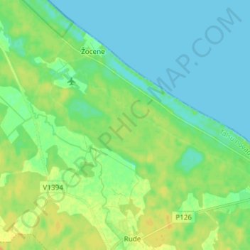
Name: Roja topographic map, elevation, terrain.
Location: Roja, Rojas novads, Kurzeme, Lettonie (57.50618 22.67902 57.53576 22.80152)
Average elevation: 8 m
Minimum elevation: 0 m
Maximum elevation: 21 m