
Ngoreme topographic map
Interactive map
Click on the map to display elevation.
About this map
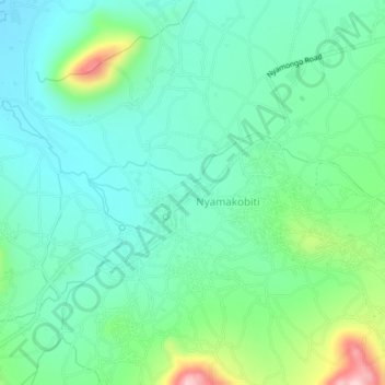
Name: Ngoreme topographic map, elevation, terrain.
Location: Ngoreme, Majimoto, Serengeti, Lake Zone, Tanzania (-1.65012 34.33310 -1.61012 34.37310)
Average elevation: 1,250 m
Minimum elevation: 1,180 m
Maximum elevation: 1,456 m