
Araya topographic map
Interactive map
Click on the map to display elevation.
About this map
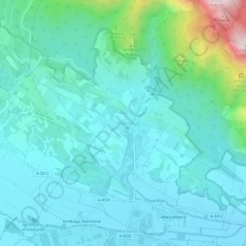
Name: Araya topographic map, elevation, terrain.
Location: Araya, Llanada Alavesa, Álava, País Vasco, 01250, España (42.86957 -2.33759 42.90957 -2.29759)
Average elevation: 676 m
Minimum elevation: 571 m
Maximum elevation: 1,197 m