
Yakawlang topographic map
Interactive map
Click on the map to display elevation.
Yakawlang
Yakawlang (Persian: یکاولنگ) is district located in the northwestern part of Bamyan Province. Its population is 76,897 (2011) predominantly from the Hazara ethnic group. The capital city Yakawlang (altitude 2714m) formerly held 60,000 residents, and it was destroyed by Taliban forces in 2001. Massacres of civilians by the Taliban were reported by Human Rights groups.There is a gravel surfaced airport near the city.
About this map
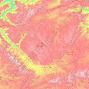
Name: Yakawlang topographic map, elevation, terrain.
Location: Yakawlang, Bamyan Province, Afghanistan (34.49217 66.27695 35.46654 67.44378)
Average elevation: 3,273 m
Minimum elevation: 1,587 m
Maximum elevation: 4,621 m