
Foothills topographic map
Interactive map
Click on the map to display elevation.
About this map
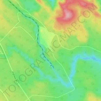
Name: Foothills topographic map, elevation, terrain.
Location: Foothills, Yellowhead County, Alberta, Kanada (53.04667 -116.80333 53.08667 -116.76333)
Average elevation: 1,401 m
Minimum elevation: 1,343 m
Maximum elevation: 1,496 m