
Цэнгэл ᠴᠡᠩᠭᠡᠯ topographic map
Interactive map
Click on the map to display elevation.
About this map
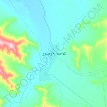
Name: Цэнгэл ᠴᠡᠩᠭᠡᠯ topographic map, elevation, terrain.
Location: Цэнгэл ᠴᠡᠩᠭᠡᠯ, Tsengel, Bajan-Ölgii, Mongolei (48.91227 89.10616 48.99227 89.18616)
Average elevation: 1,955 m
Minimum elevation: 1,863 m
Maximum elevation: 2,438 m