
Cootehill topographic map
Interactive map
Click on the map to display elevation.
About this map
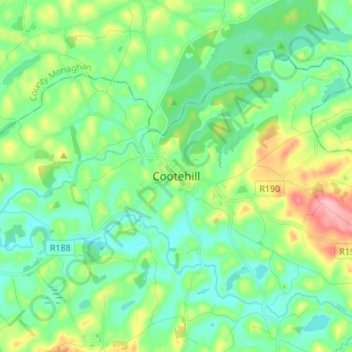
Name: Cootehill topographic map, elevation, terrain.
Location: Cootehill, County Cavan, H16 Y225, Ireland (54.03250 -7.12194 54.11250 -7.04194)
Average elevation: 93 m
Minimum elevation: 60 m
Maximum elevation: 175 m