
Thanh Lãng topographic map
Interactive map
Click on the map to display elevation.
About this map
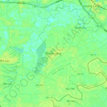
Name: Thanh Lãng topographic map, elevation, terrain.
Location: Thanh Lãng, Bình Xuyên District, Vĩnh Phúc Province, Vietnam (21.20169 105.57638 21.28169 105.65638)
Average elevation: 10 m
Minimum elevation: 3 m
Maximum elevation: 16 m